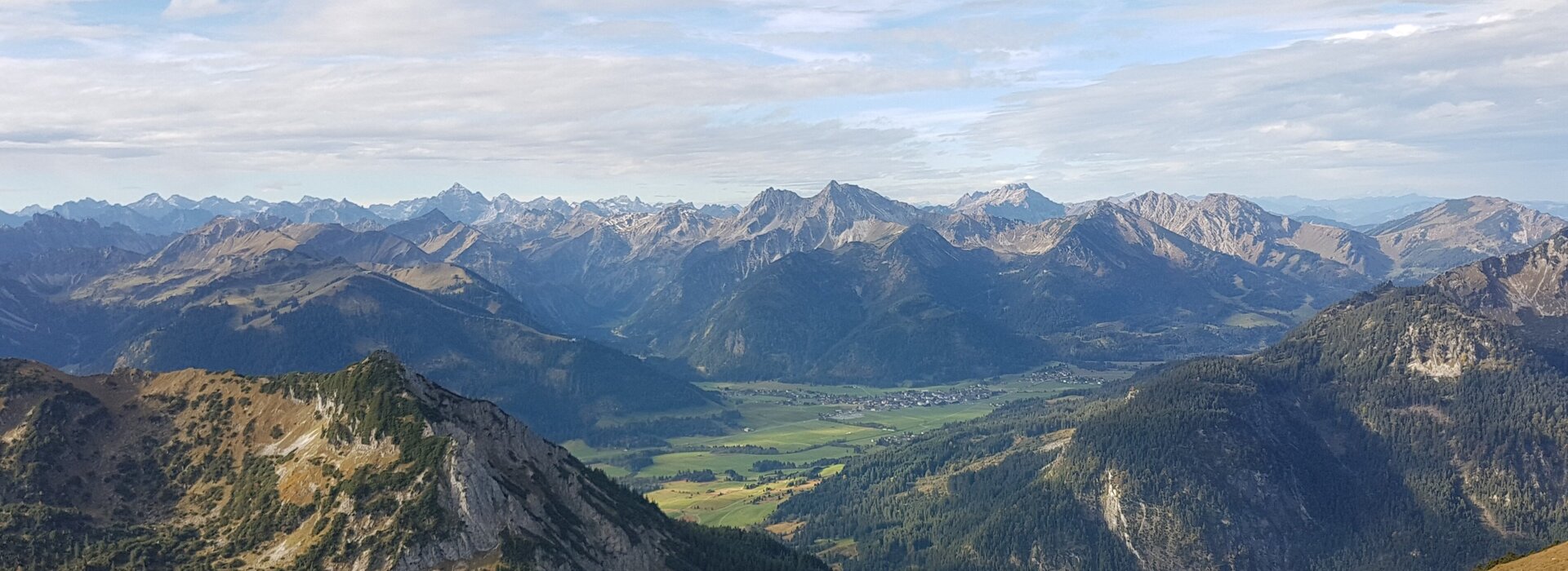
Pleasure, hut and summit tours
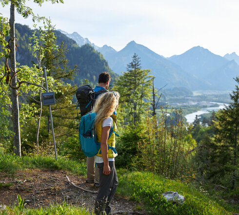
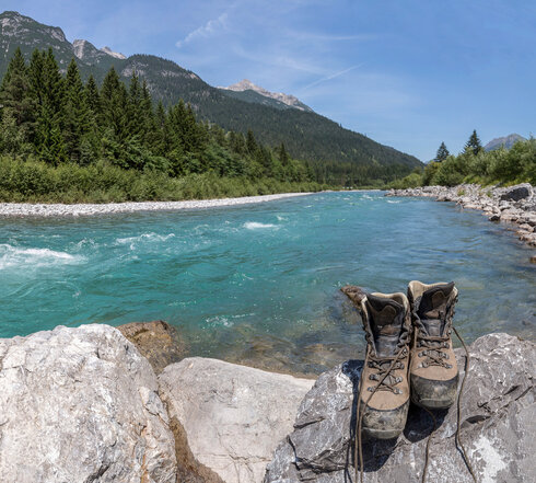
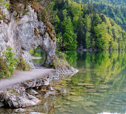
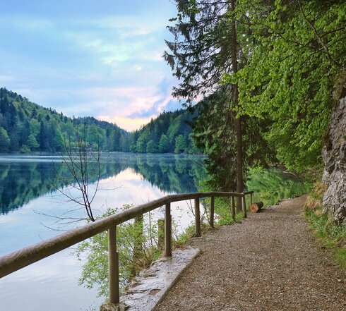
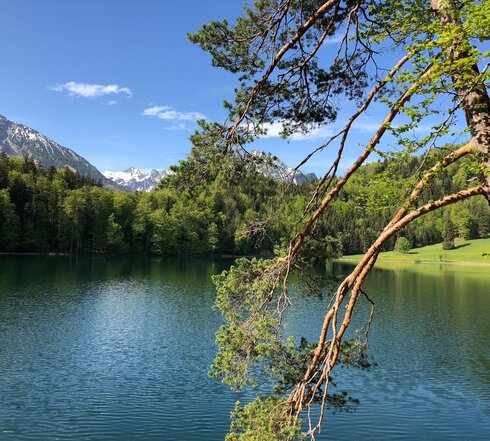
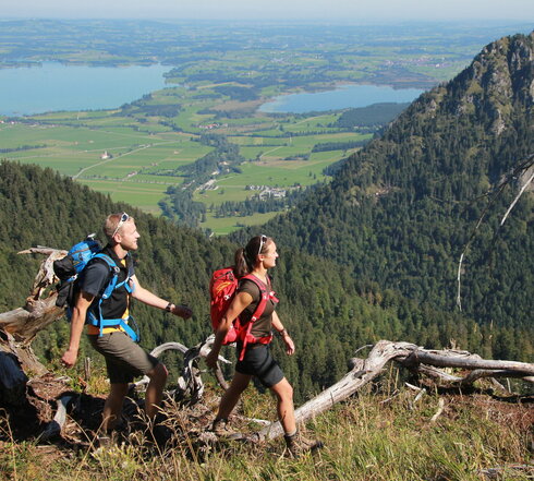
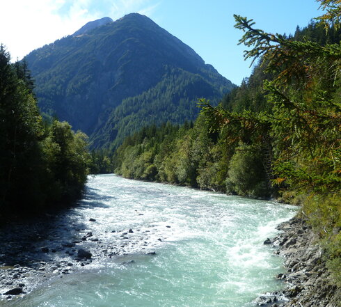
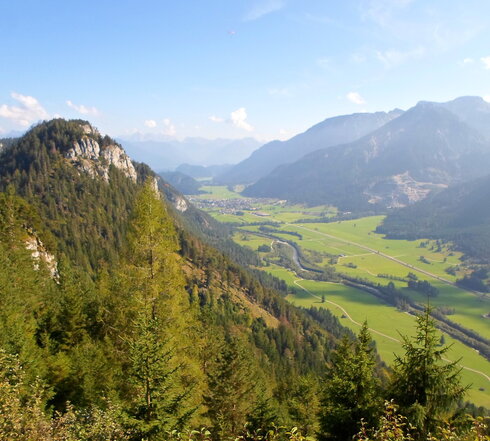
Hiking in and around Füssen
From easy to difficult - we have divided our tours into "Grias Di hikes", "Alpine pasture hikes", "Chamois hikes" and "Long-distance hiking trails". This means you can quickly and easily find your way through the variety of tours and filter according to your personal taste. When planning your hike, please also note the level of difficulty according to the DAV trail categories. Most of the hikes can be easily done by public transport .


By bus / public transport ...
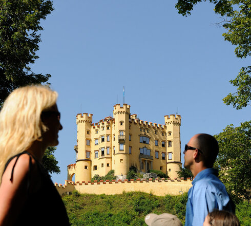
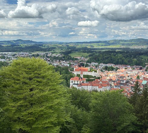
Füssen and its surroundings are well suited for vacationers without their own car. Almost all sights in the region can be reached by bus, train or bike.
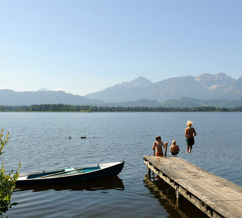
As part of the "allgäumobil" transport association, you can travel free of charge on the500 km long bus network with your guest card (Füssen Card / KönigsCard)! Use the public buses to hop from lake to lake or simply take the bus back after a long hike. You can travel free of charge with allgäumobil in and between the following towns: Füssen (with Hopfen am See and Weißensee), Hopferau, Eisenberg, Nesselwang, Pfronten, Oy-Mittelberg, Riedenam Forggensee, Roßhaupten, Rückholz, Schwangau, Seeg, Halblech, Lechbruck am See and the entire bus route network of Regionalverkehr Oberbayern (RVO). You can find out more on the allgäumobil website for the Ostallgäu.
The ring bus around the Ammergebirge or the late bus for evening excursions in July and August offer a special summer offer for long-distance hikers and those interested in culture.


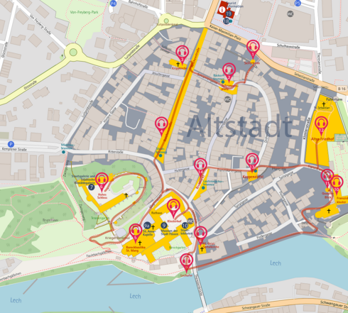
| No. | Designation | Places | Walking time to the old town | Cost of | Day ticket | Commentary |
|---|---|---|---|---|---|---|
| P1 | Fairground | 250 | 25 min | see day ticket | € 5,00 for cars € 5.00 for buses € 25.00 for motorhomes | The site is closed during events. The daily rate is valid for the day on which the ticket is purchased. |
| P2 | Ice sports center / federal base (BSP) | 130 | 10 min | up to 1 hour = free of charge 1 - 2 hours = € 2.50 2 - 3 hours = € 4.00 > 3 hours = € 5.00 | € 5,00 | Monday - Friday 8.00 am - 5.00 pm |
| P3 | Morisse | 450 | 5 min | up to 30 min = € 1,00 up to 60 min = € 2,00 each additional hour or part thereof € 2.00 € 15,00 daily maximum | € 15,00 | Separate tariffs apply for vehicles over 2.50 m in height |
| P4 | Hotel Luitpoldpark | 280 | 2 min | per 30 min = € 1.50 from the 2nd hour each additional hour costs € 2.00 | € 16,00 | Private provider |
| P5 | City Sparkassenhaus (underground parking garage) | 360 | 2 min | per hour = € 2,00 | € 17,00 | open continuously |
| P7 | Boat harbor | 300 | 25 min | up to 1 hour = € 1,50 1 - 2 hours = € 3.00 2 - 3 hours = € 4,00 | € 5.00 (CAR) € 13.00 (bus) | Monday - Sunday 9.00 - 22.00 hrs |
| P8 | Festspielhaus (Achmühle) | 300 | 35 min | € 5,00 | Your license plate number will be scanned when you enter the parking lot. Please enter the license plate number when paying at the pay machine. Payment of the parking fee (day ticket) is possible at any time, even before visiting the Festspielhaus. | |
| Forest Adventure Center | 45 min | free of charge | ||||
| Parking lot at Schwedenweg (Weidach) | 15 | 10 min | up to 1 hour = free of charge up to 2 hours = € 1,50 from the 2nd hour = € 1.50 for each additional hour Daily maximum € 12,00 | Monday - Sunday 9.00 - 18.00 hrs |
Help in an emergency
With the free SOS-EU-Alp app, an emergency call can be made quickly and easily, which is transmitted to the relevant rescue coordination center together with location data (GPS coordinates) and contact details (direct telephone number).

Hiking map - digital or analog?
To make your hike an all-round relaxed and safe experience, you will find tour suggestions, from easy to challenging, on our interactive map. The GPS track makes it easier for you to plan and implement your hike.
We also recommend that you always take an analog hiking map with you. These are available from us at the tourist information office, among other places.
Leaflets and flyers
View, download or order brochures, local maps and leaflets.
